
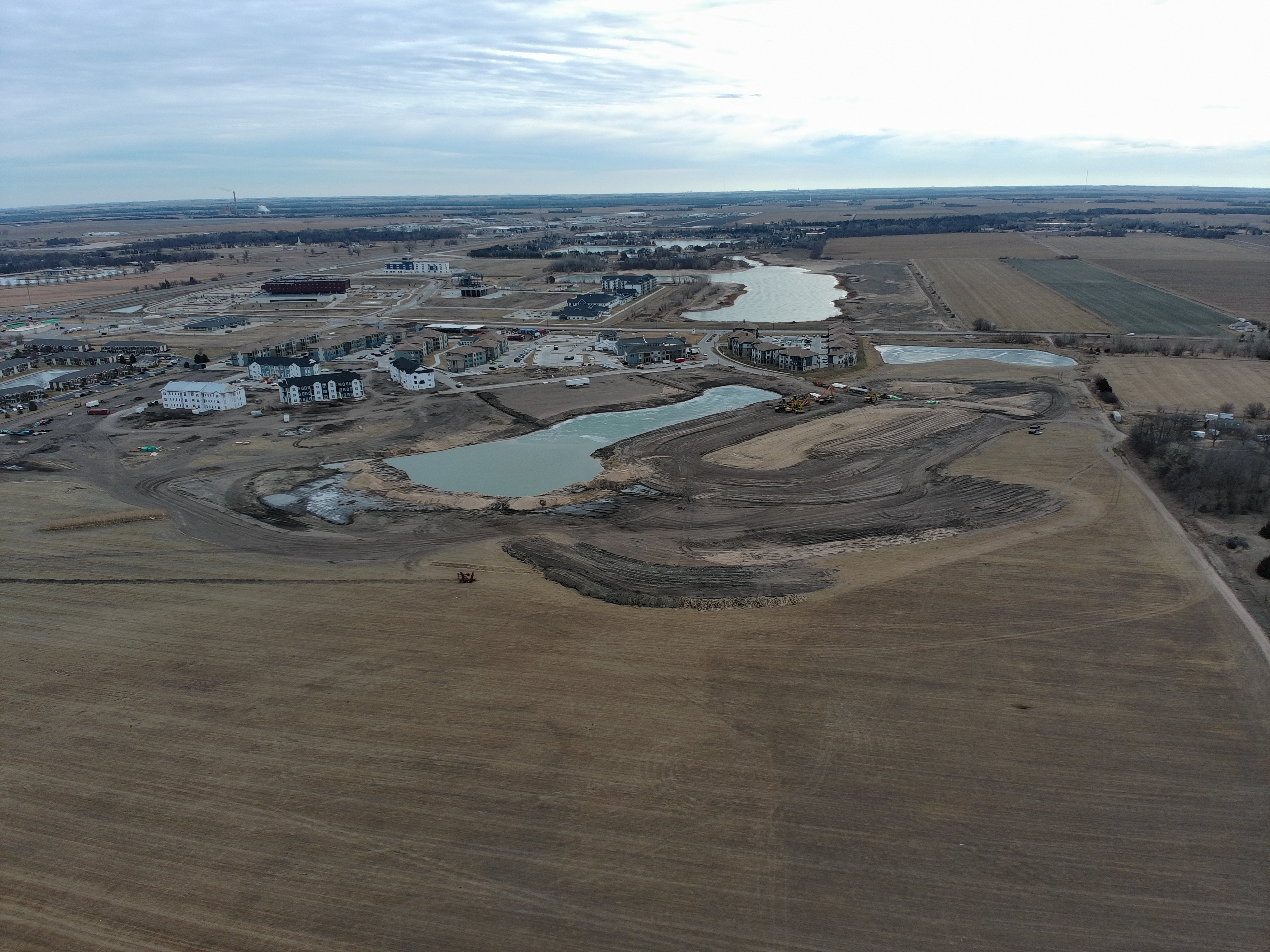
Photogrammetry & Mapping
Turn aerial data into actionable insights. We create precise 2D orthomosaic maps and detailed 3D models, giving you accurate, high-quality representations of your project area for planning, analysis, and decision-making.
Services Include:
- 2D Orthomosaic Maps – High-resolution maps for precise measurements and planning.
- 3D Models – Realistic, interactive models of your site or project.
- Topographic Surveys – Detailed terrain data for engineering and construction.
- Volume Calculations – Accurate measurements for stockpiles, excavations, and more.